Pin Parvati Pass Trek
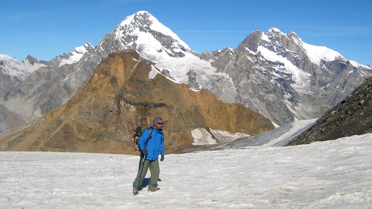
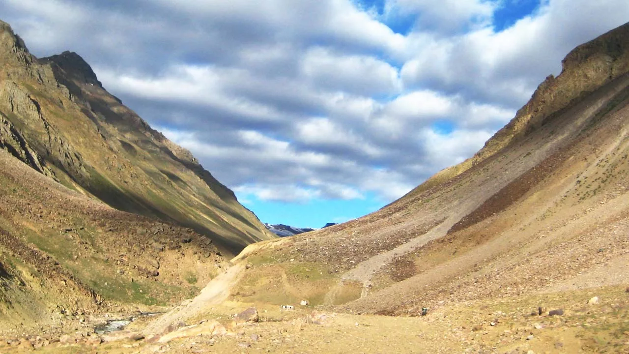
TrekOne of the greatest treks and most demanding passes in the Western Himalayas. It’s not only the height that makes it tough; finding the pass on the ridge with glaciers on both sides requires skills and expertise. The pass divides Kullu and Spiti districts and provides a wonderful view of the Pin and Parvati Valleys.
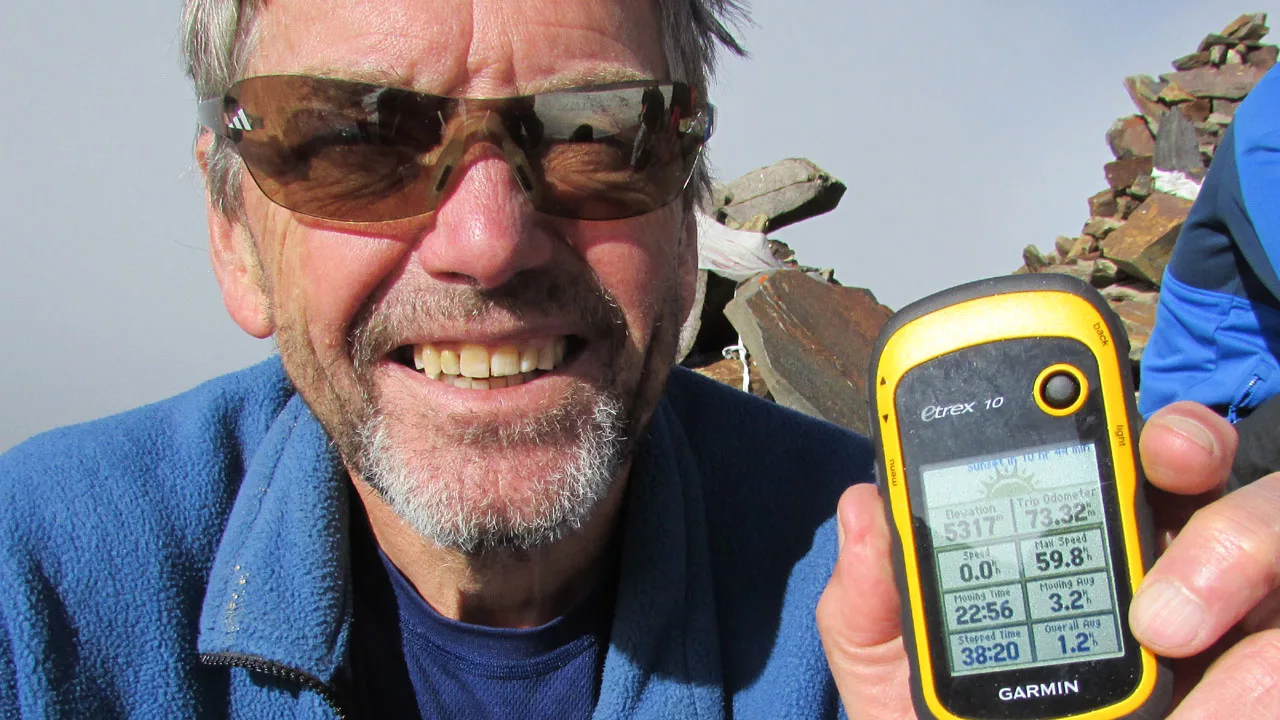
This is not just a Trek episode. This is an epic trek across the fabled Parvati and Pin Valleys, with an ascent and descent of 5300 meters on the Pin Parvati Pass in the Western Himalayas.
The Pandavas, the five recognized sons of Pandu in the Hindu epic Mahabharata, created this bridge by dumping a big boulder into the Parvati River also known as the Pandu bridge.
Lord Shiva meditates in Mantalai. Goddess Parvati came down from that place and rested at Manikaran when he was deep in meditation. Lord Shiva follows the same trail in his chase for Goddess Parvati and finds her resting under a tree near Manikaran. Accordingly, the Parvati River was named for this trail, which now became a river. Trek over the magical meadows of Pin and Parvati Valley.
Pin Parvati Pass Trek Details
- Area: Himachal Pradesh – Kullu Valley and Spiti Valley
- Altitude: Min: Kasol 2,200 Mts., Bir 1300 Mts.) Max: Pin Parvati Pass (5300 Mts.)
- Age: 16 years and above.
- Duration: 10 Days – 09 Nights
- Trek Grade:
Easy ModerateDifficult - Best Time: July – October
Note: Monsoon rains are quite intense between July and August. The trail is difficult to find in this area because of the dense vegetation. Additionally, the way to pass is difficult to find in a whiteout.
Pin Parvati Pass Route Details
Day 01: Kasol 2200m
Day 02: Drive to Burshani trek to Khir Ganga 5-6 hrs 2940m
Day 03: Trek to Tunda Boaj 5-6 hrs 3205m
Day 04: Trek to Thakur Kuan 5-6 hrs 3400m
Day 05: Trek to Odi Thach 5-6 hrs 3950m
Day 06: Trek to Mantali 3-4 hrs 4080m
Day 07: Trek to High Base camp 5-6 hrs 4500m
Day 08: High base camp to Pin Parvati Pass 5300m – Pin Base camp 7-8 hrs 4400m
Day 09: Hike Pin Base camp to Tiai 6-7 hrs 3700m
Day 10: Hike to Mud to Kaza 4-5 hrs trek 2-3 drive
Cost: INR 70,000 / 850$ USD
Including and Excluding
- Includes: Professional guide, permit, hotel in Kasol and Kaza, shared accommodation, all meals- Day 1 lunch to last day lunch, safety- first aid kit.
- Excludes: Drive from Kaza Spiti to Manali, meals while driving, and stay in Manali.
- Drive on trek Extra Cost: The Last day of the journey (Kaza to Manali) is shared by all trek participants for a vehicle costing INR 17000.
- Optional: Extra Cost for potter/mule for a day pack.
Packing List for Trekking
Pin Parvati Pass Trek Itinerary
Day 01: Kasol
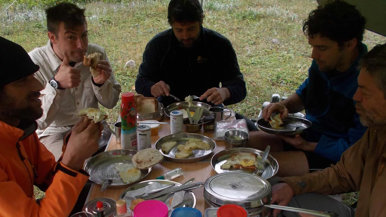
Meet the crew, check your gear, and tour Kasol. Optionally, explore Manikaran. Spend the night in a hotel.
Day 02: Burshani to Kheer Ganga 2940m 5-6 hrs.
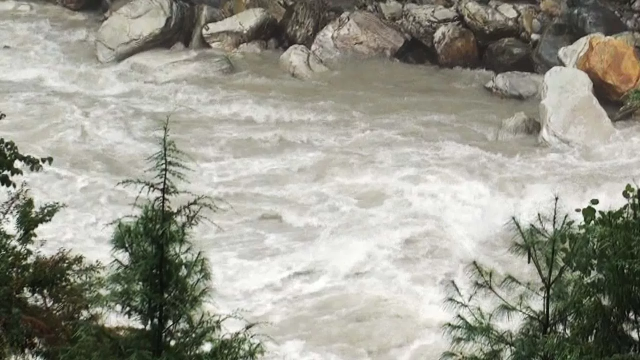
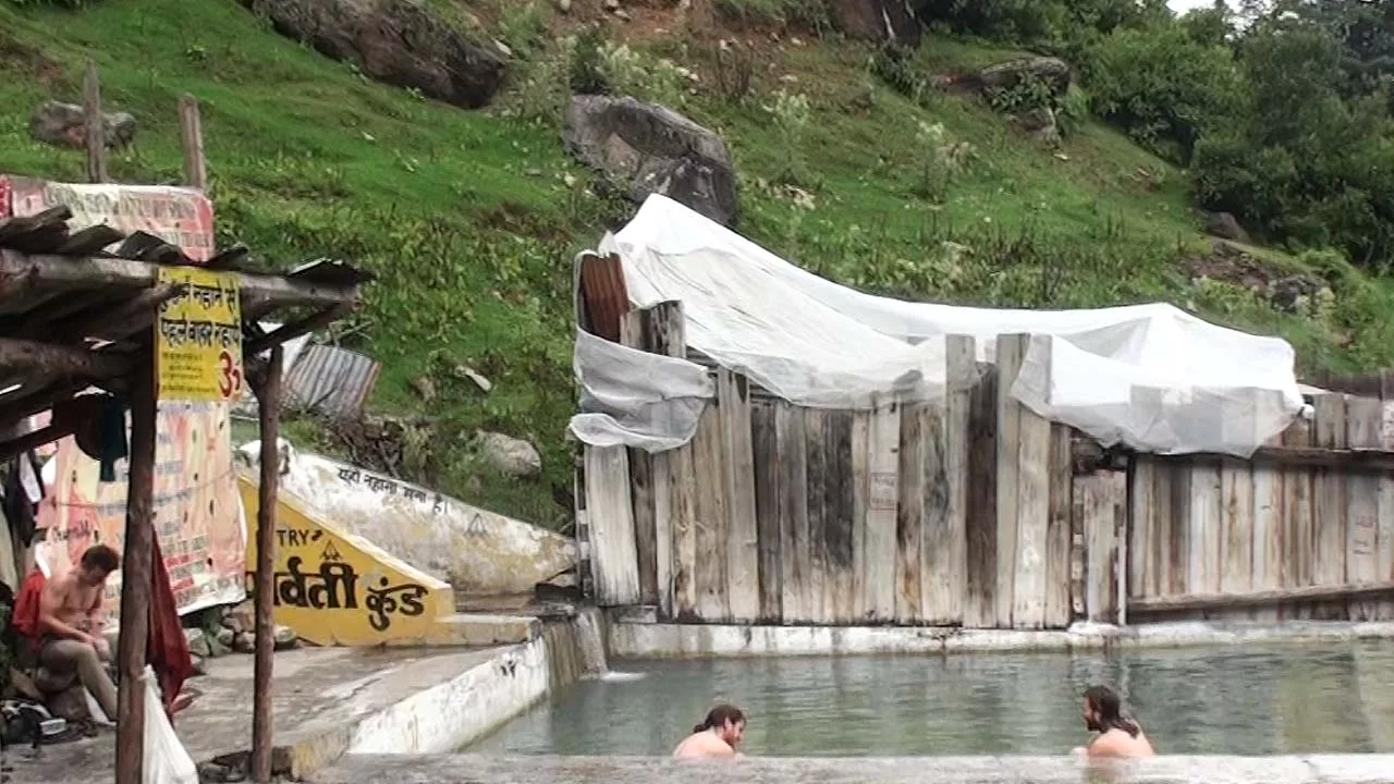
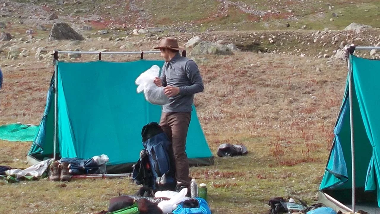
Early departure from Kasol to Kheer Ganga, which has religious significance as well as hot spring water. The drive to Barshani village takes around an hour. The Tosh Nala has a bridge to cross after the drive. Nathan village has a steep ascent. Apple orchids surround the village. Shortly Nathan Trail gradually descends to the Parvati River to a wooden bridge to cross over the Parvati Gorge. The dense cider forest now extends to Kheer Ganga. This hike is all uphill. Khir Ganga offers hot spring water. Overnight at a camp.
Day 03: Kheer Ganga to Tunda Boaj 5-6 hrs 3205m
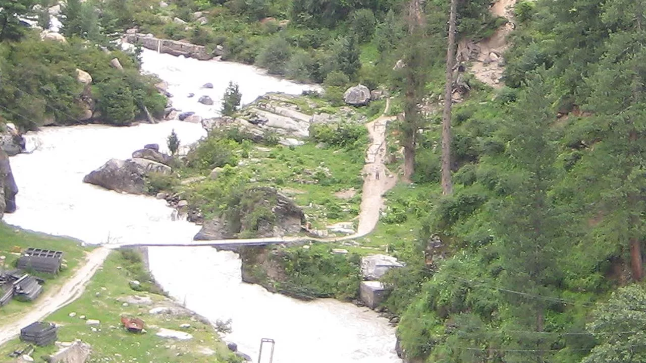
The route from Kheer Ganga to Tunda Boaj is through cider spurs and birch trees. Indeed it is an uphill and downhill track. Many streams go all the way to Tunda Boaj. Tunda Boaj is a meadow with a lovely camp spot next to a creek. Camp for the night.
Day 04: Tunda Boaj to Thakur Kuan 5-6 hrs 3400m
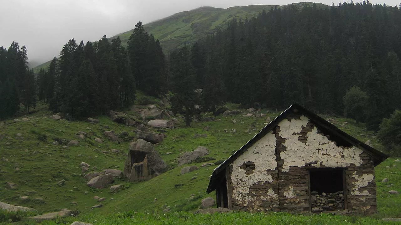
Today’s walk begins with a wooden bridge crossing and continues downhill to the Parvati River. Now that you’re above the tree line, only shrubs and plants like juniper and white rhododendron can be seen everywhere. After the wooden bridge, there is a sharp uphill on top and then downhill to a pulley bridge. Now the valley widens, providing a magnificent vista of the Great Himalayas. The snow-capped peak and glacier will emerge to Thakur Kuan. Thakur Kuan is a vast meadow next to the Parvati River. Thakur Kuan is an overnight camp.
Day 05: Thakur Kuan to Odi Thach 5-6 hrs 3950m
This is a strenuous hike up to Mantalai that provides breathtaking views of alpine landscapes, hanging glaciers, flowing streams, and flowers. Soon you will be crossing Pandau Bridge. This is particularly a massive boulder bridge that spans the Parvati River. Pandu Bridge consists of two sections, one on the Parvati River and the other on a stream before the Parvati River. We cross the Parbati River by the pulley bridge once more; it’s an exciting journey. Further Odi Thach is a large camping area in Parvati Valley. Camp for the night.
Day 06: Odi Thach to Mantalai 3-4 hrs 4080m
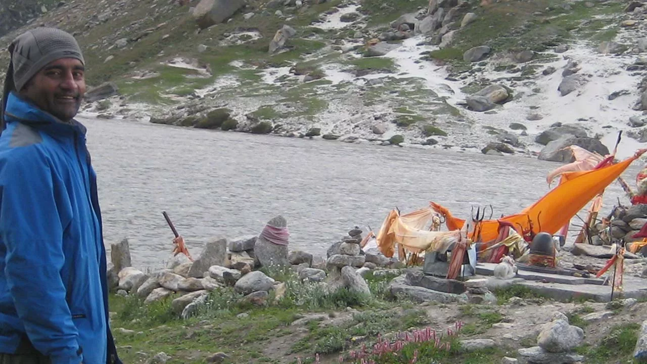
Shepherds have built many cranes for Mantalai. The route now gently ascends to the Mantalai. Mantalai Lake is fed by the Parvati glacier. A Shiva temple with Shivling is located along the Parvati River and is a holy site.
Day 07: Mantali to High Base camp 5-6 hrs 4500m
Today’s trek is difficult; it’s a hard uphill. The trail leads to a flower-filled offshoot. You will see a few unusual blooms, including e.g. Bhram Kamal (Saussurea Obvallata, a blossoming plant found only at 4500 meters in the Himalayas) in addition to other flora. Peaks become seen as height increases. Unnamed summits and hanging glaciers provide a huge panorama all around. Thus the campground is along a little stream that flows from the Parvati Glacier right above the campsite. Because of the glacier and altitude, the days are hot and the nights are quite chilly.
Day 08: High base camp to Pin Parvati Pass 5300m – Pin Base camp 7-8 hrs 4400m
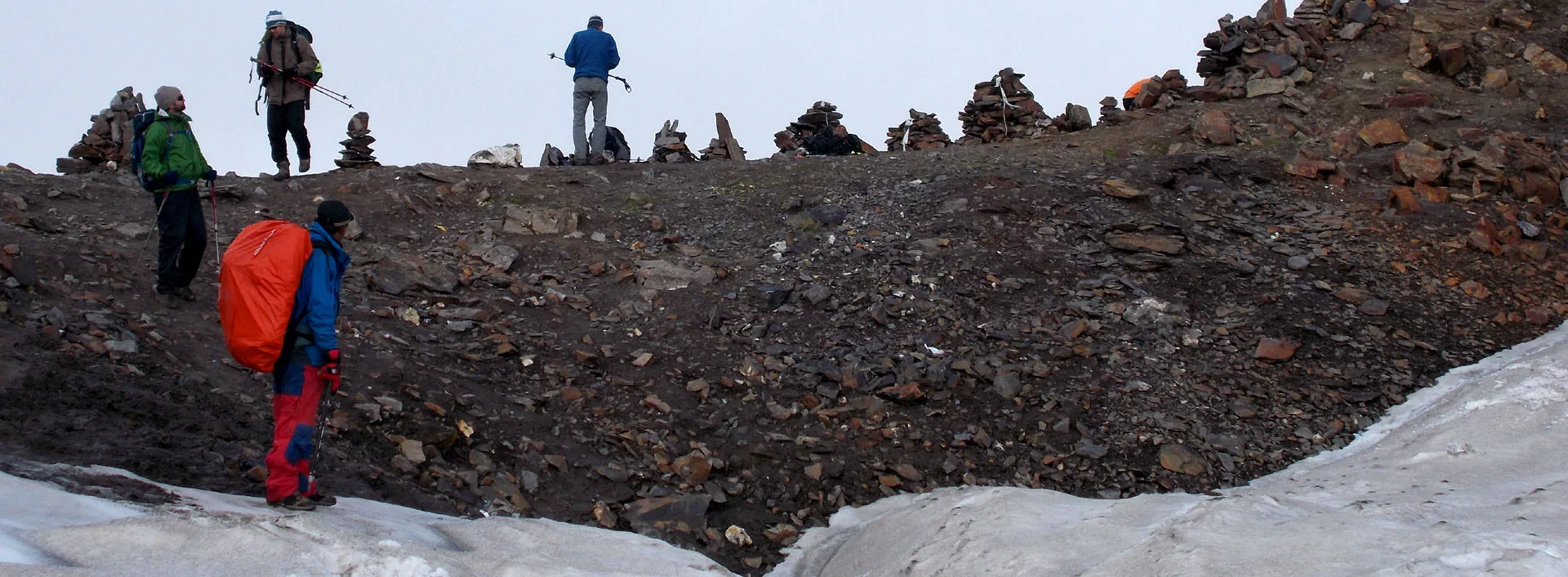
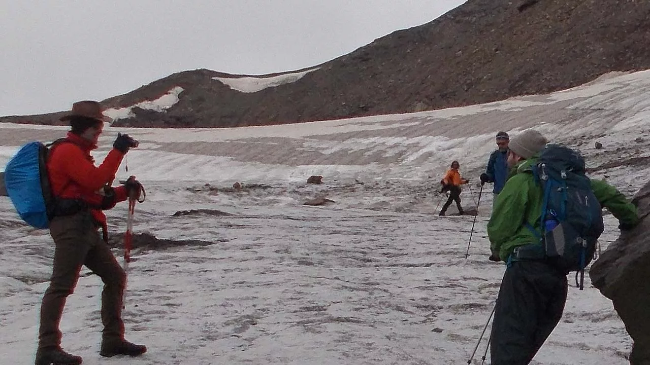
Start early in the morning to traverse the pass and enter Pin Valley. The route climbs steeply upward until you reach the pass. However, the majority of the path is on the glacier, which has crevasses. Eventually, the pass provides a spectacular view of Pin Valley and Parvati Valley. It also separates the Spiti and Kullu districts. Following a creek, it’s a sharp fall to the pin base after the pass. Camping is located near the Pin Glacier, which is the source of the Pin River.

Day 09: Pin Base camp to Tiai 6-7 hrs 3700m
The trek begins with a crossing of the Pin River. Because of the Pin Glacier, the river is quite cold. The glacier can also span the river. Overall the path now parallels the Pin River additionally the majority of the path is on-scree. Nevertheless, cross some streams are on the way.
Day 10: Tiai to Kaza 4-5 hrs trek 2-3 drive
Eventually, you will see settlement it’s an unpaved, broken route to Mud, then a 2-hour drive to Kaza. Finally, to get to Kaza, the route follows the Pin River. Lastly the hotel stay.
Know More about Pin Parvati Trek
